Brothers Point Hike, Isle of Skye | A Very Helpful Visitor’s Guide
A very helpful visitor's guide to Brother’s Point on the Isle of Skye. Everything you need to know, from parking to essential footwear and the best viewpoints along this spectacular coastal hike.
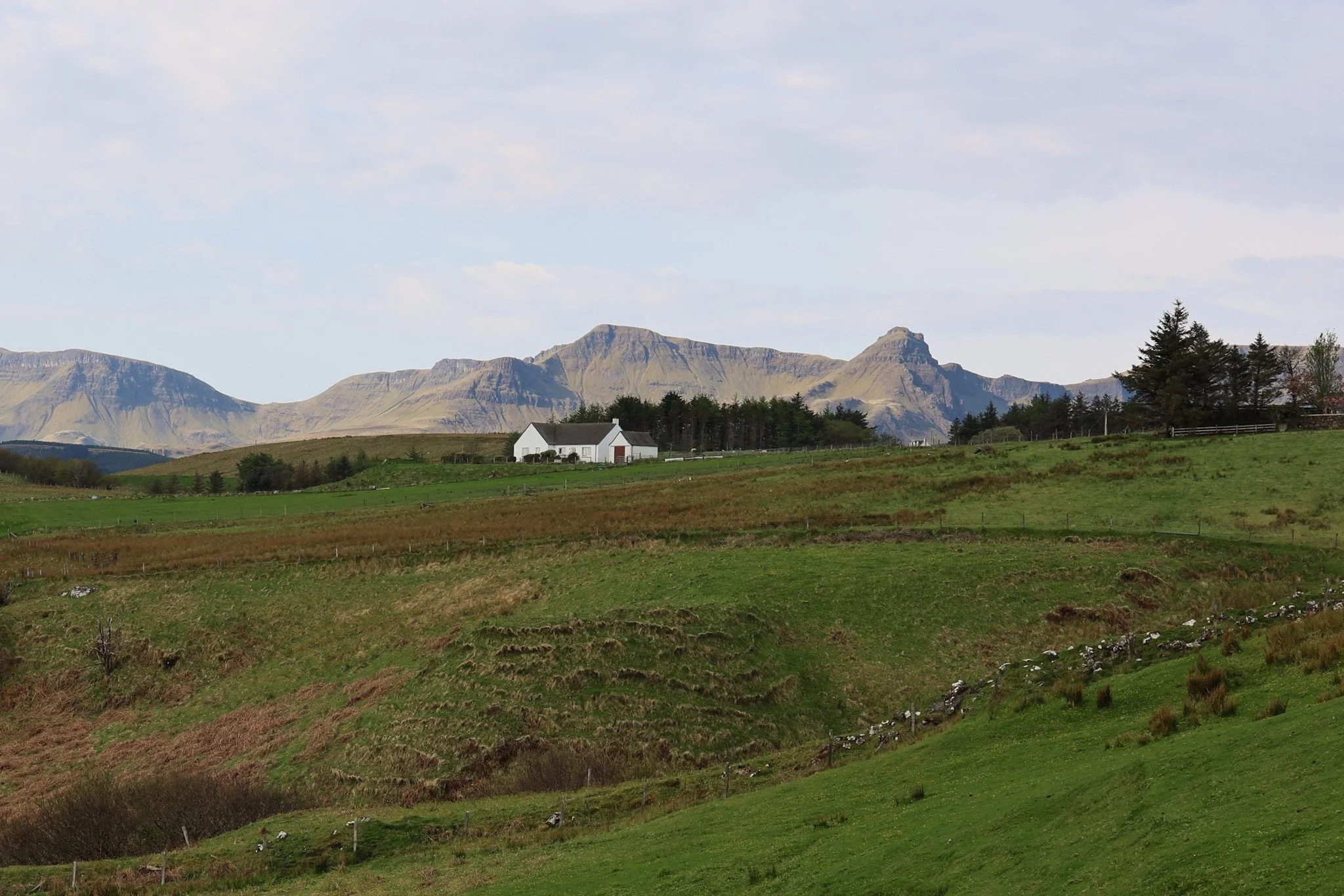
A few miles along Skye’s northeastern coastal road, Brothers Point is one of those walks that quietly rewards a bit of extra effort. It’s far less visited than headline hikes like the Old Man of Storr or the Quiraing, but the scenery is no less dramatic.
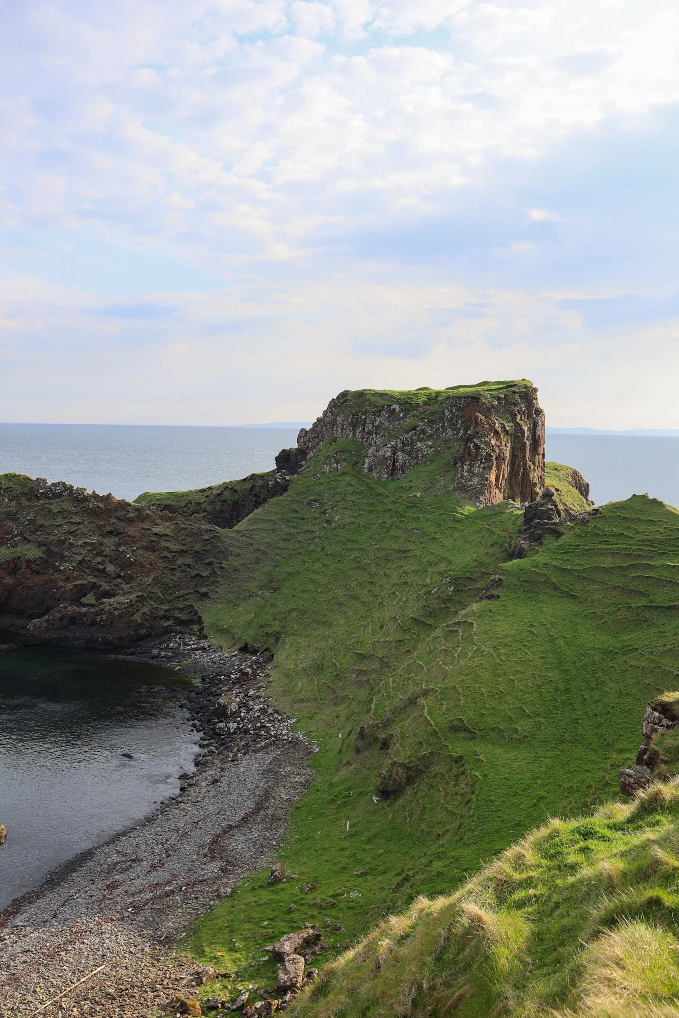
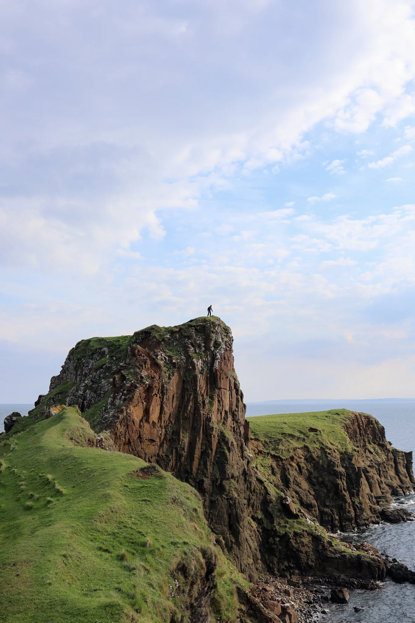
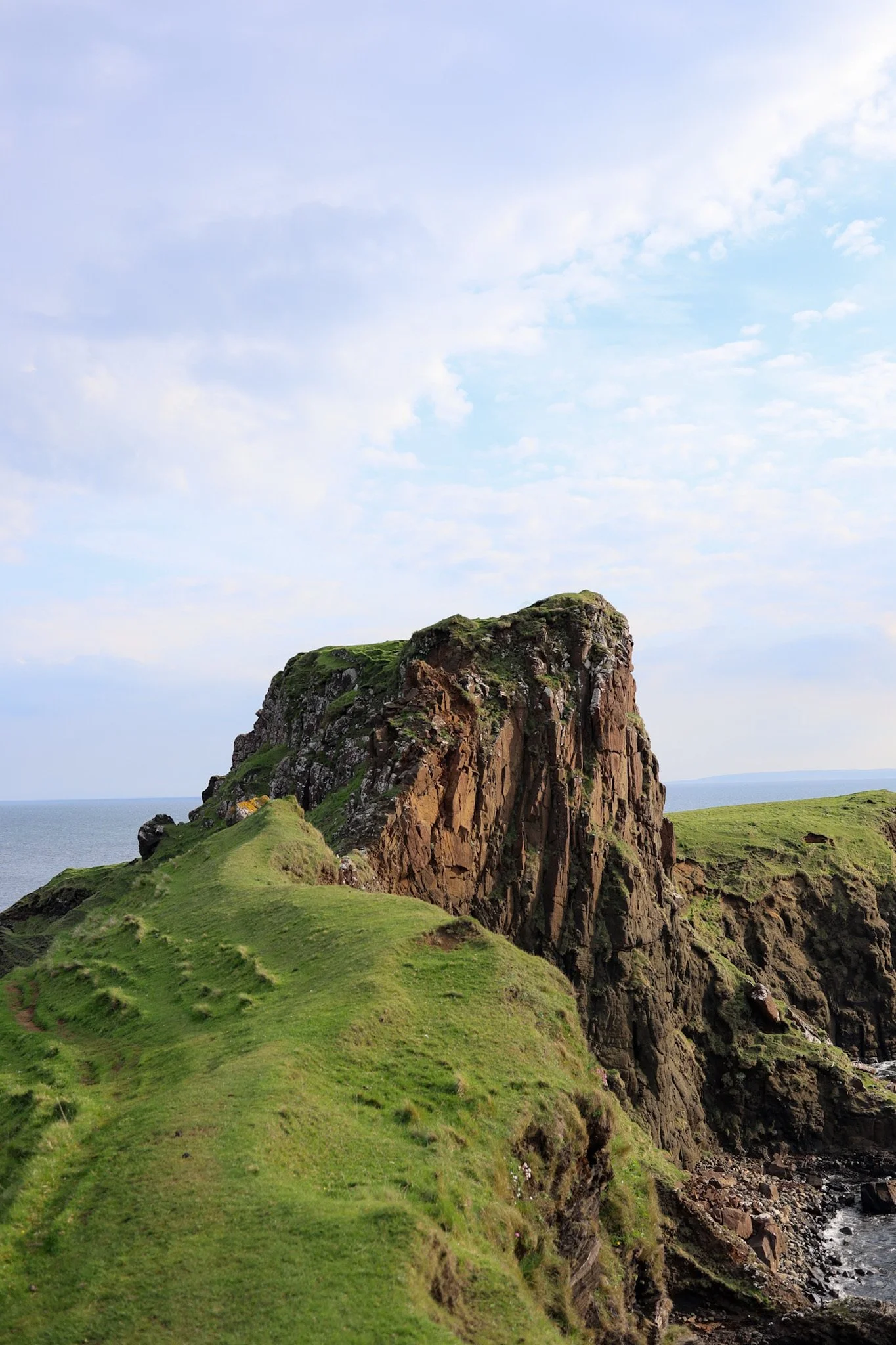
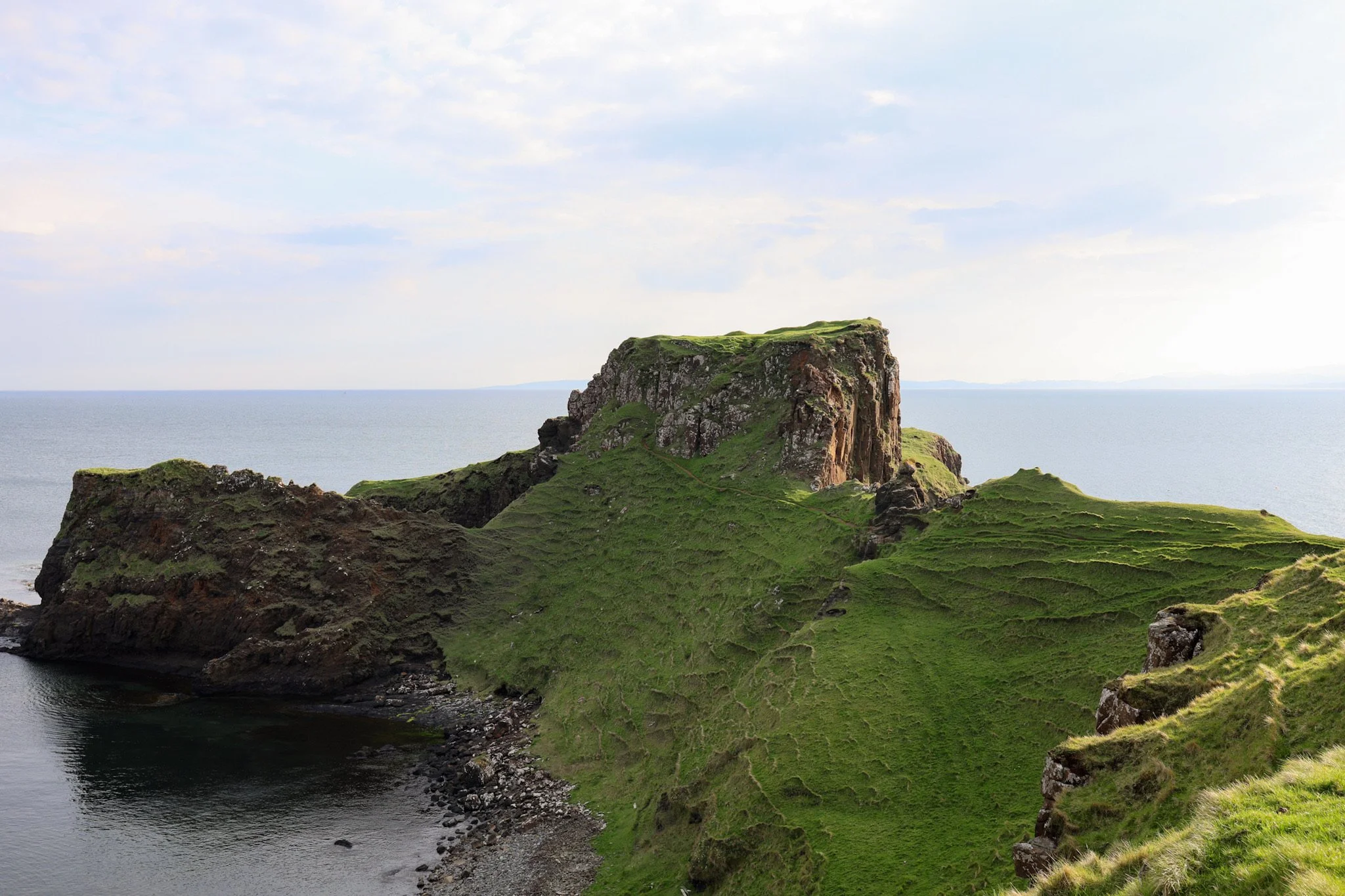
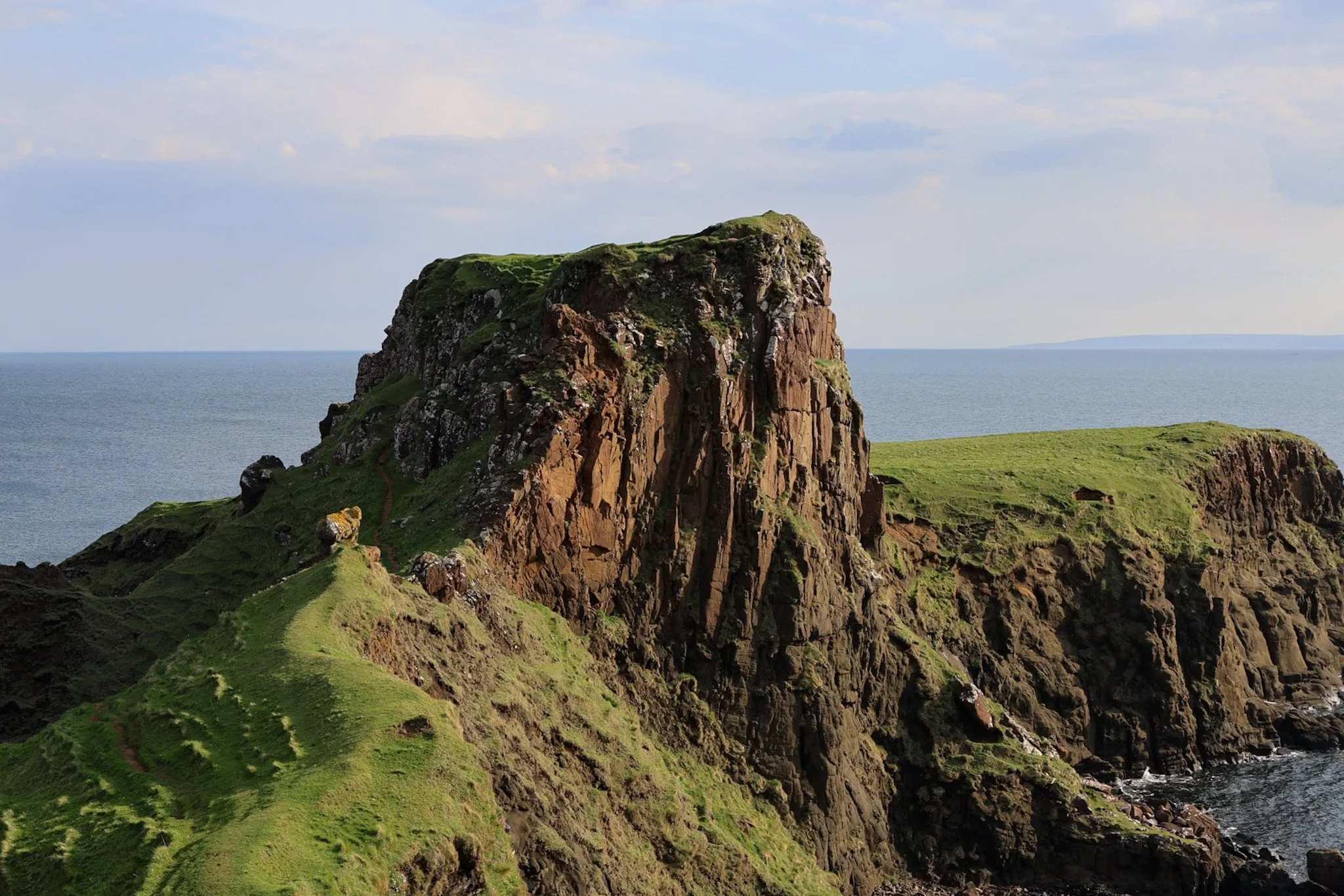
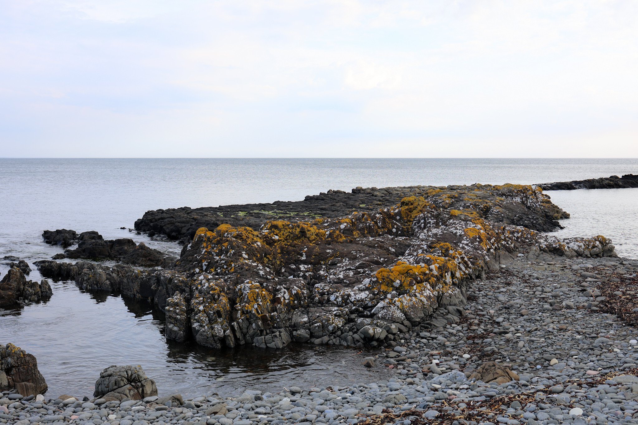
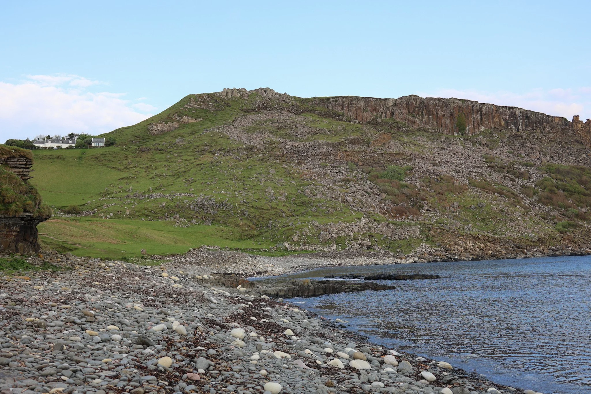
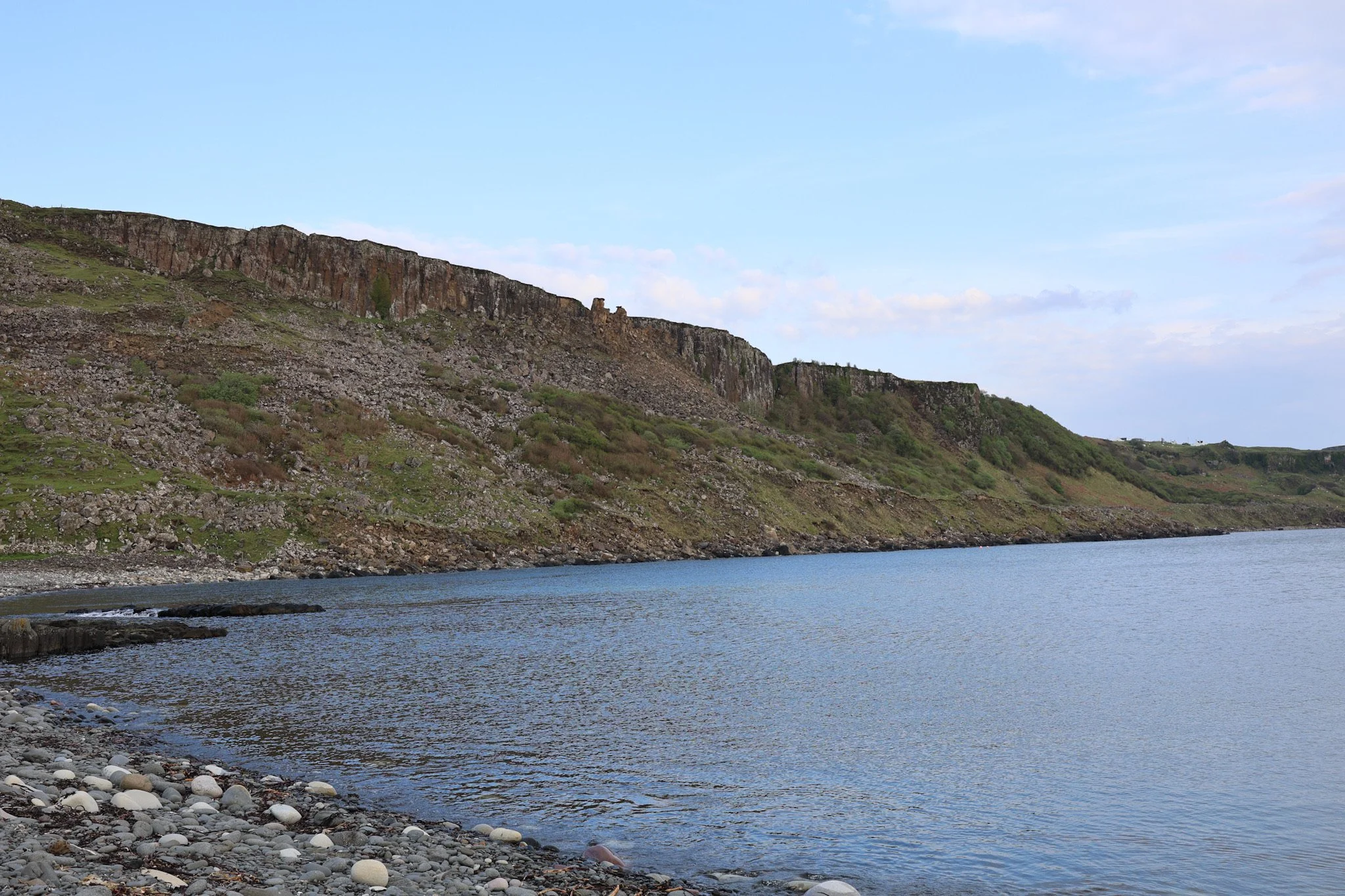
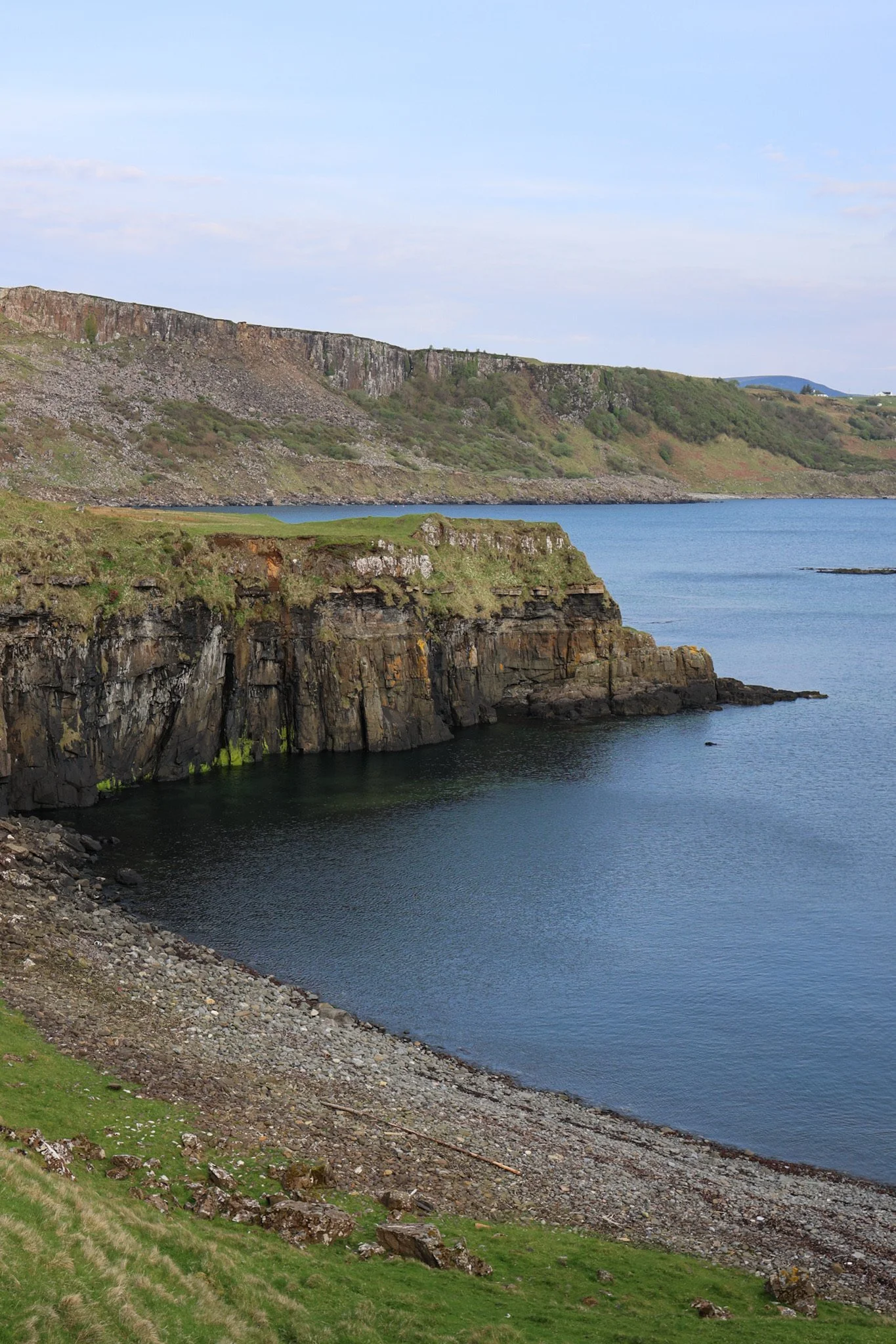
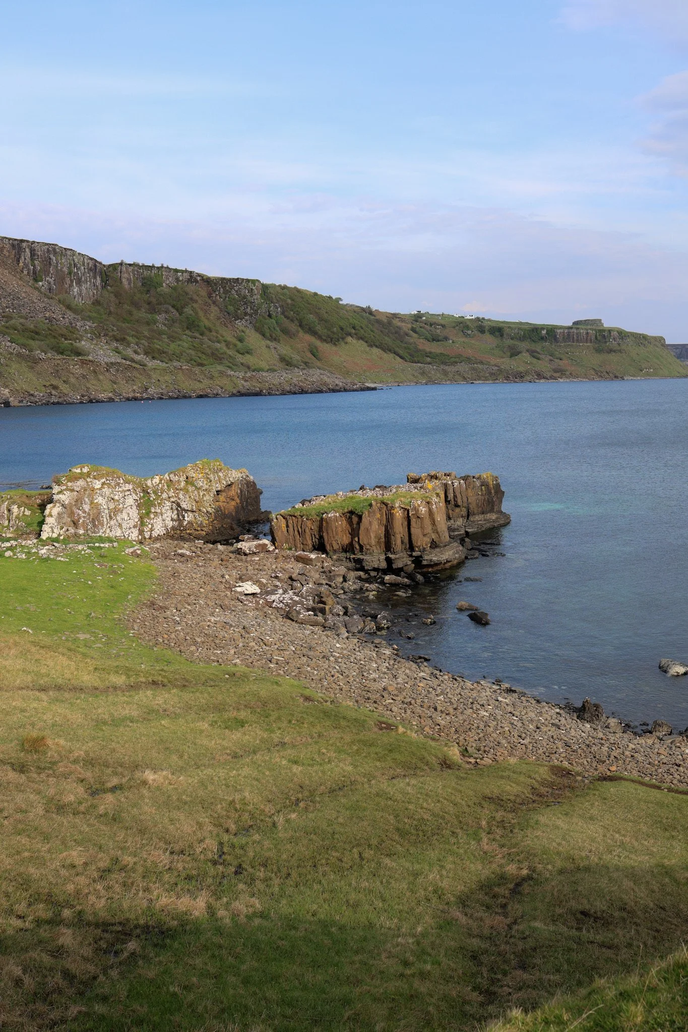
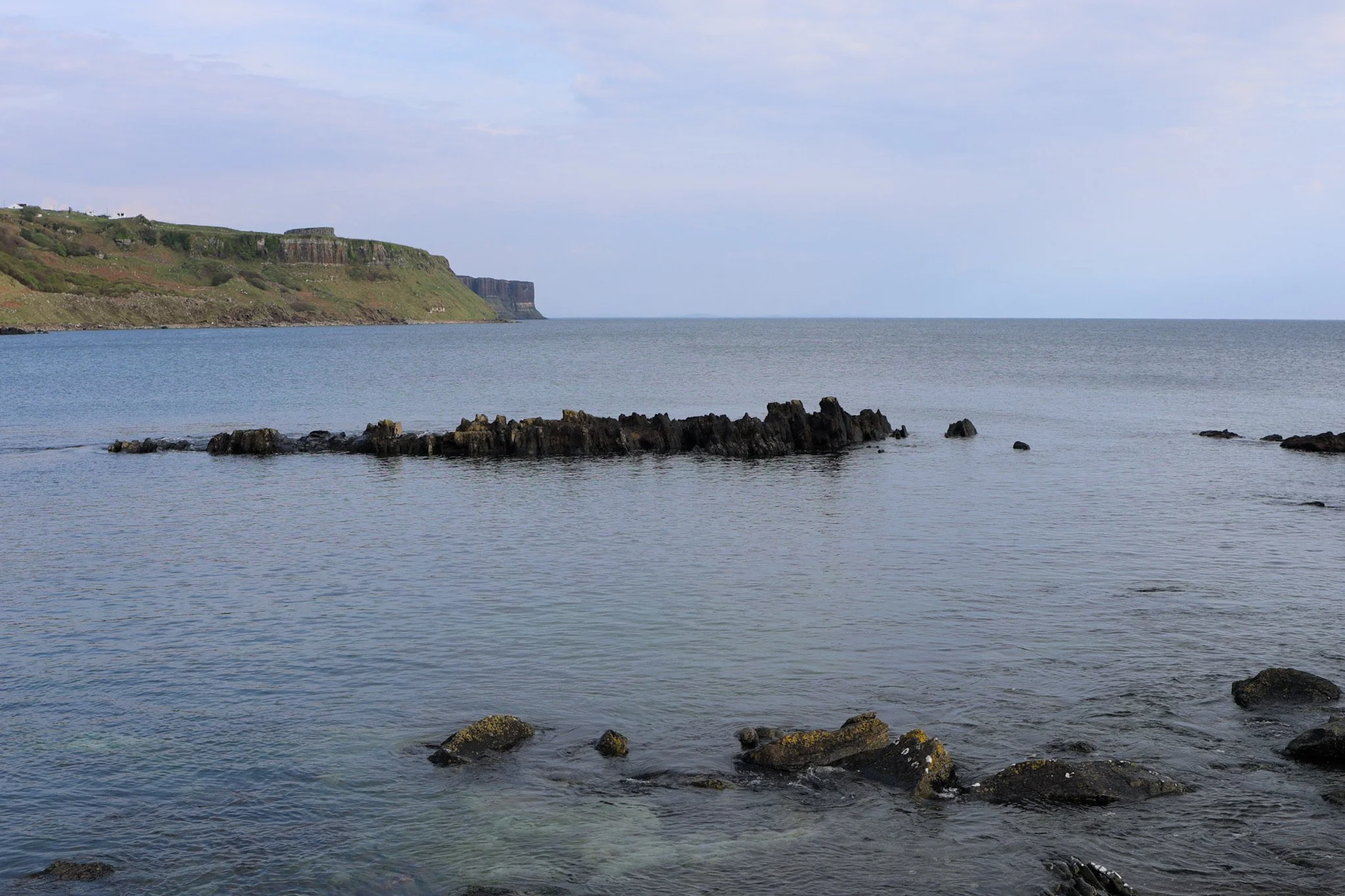
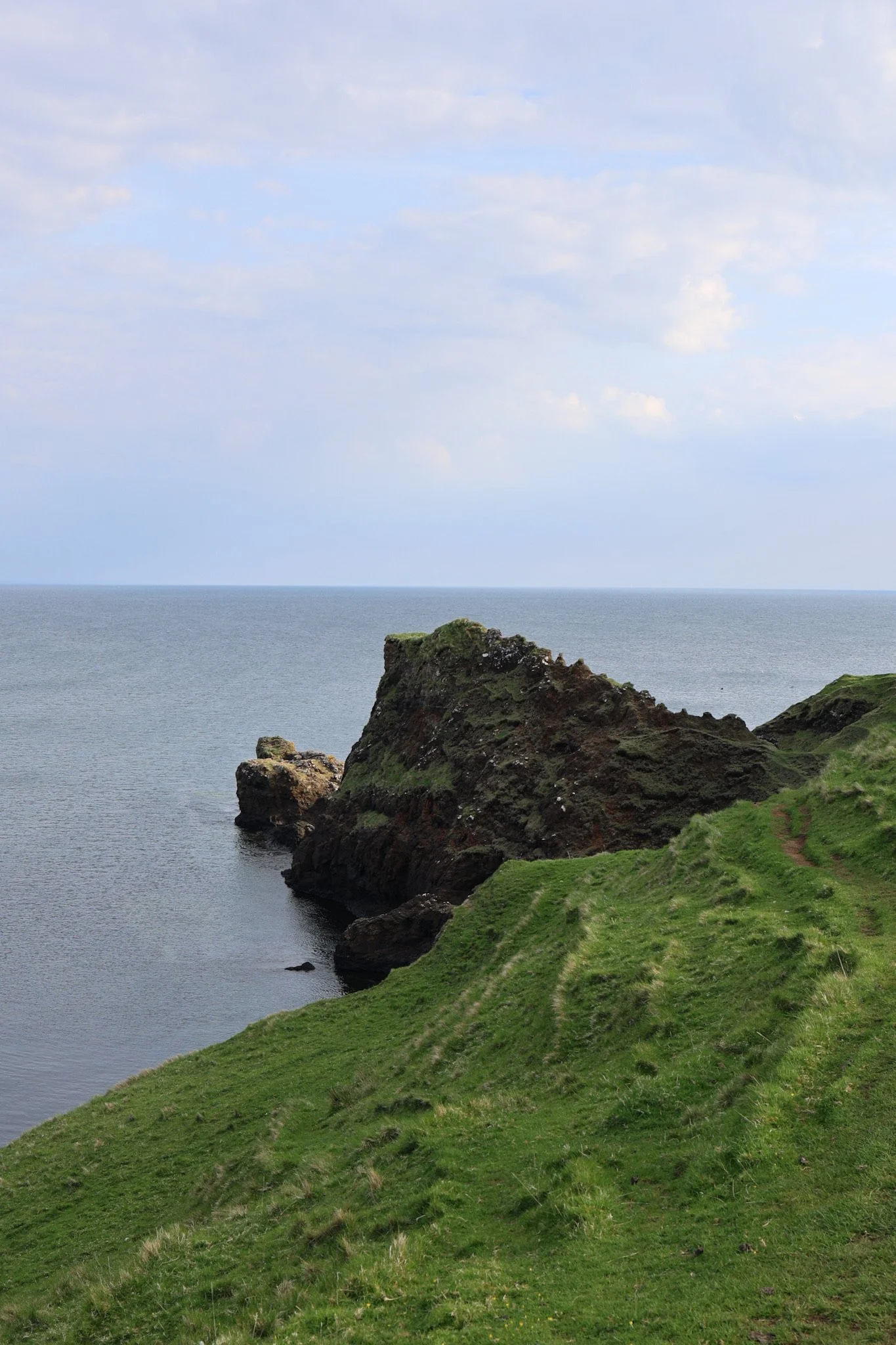
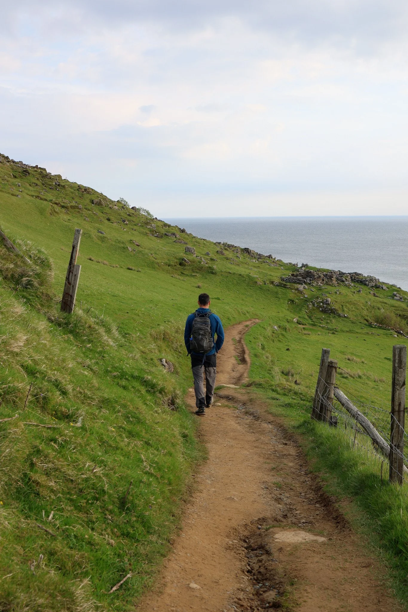
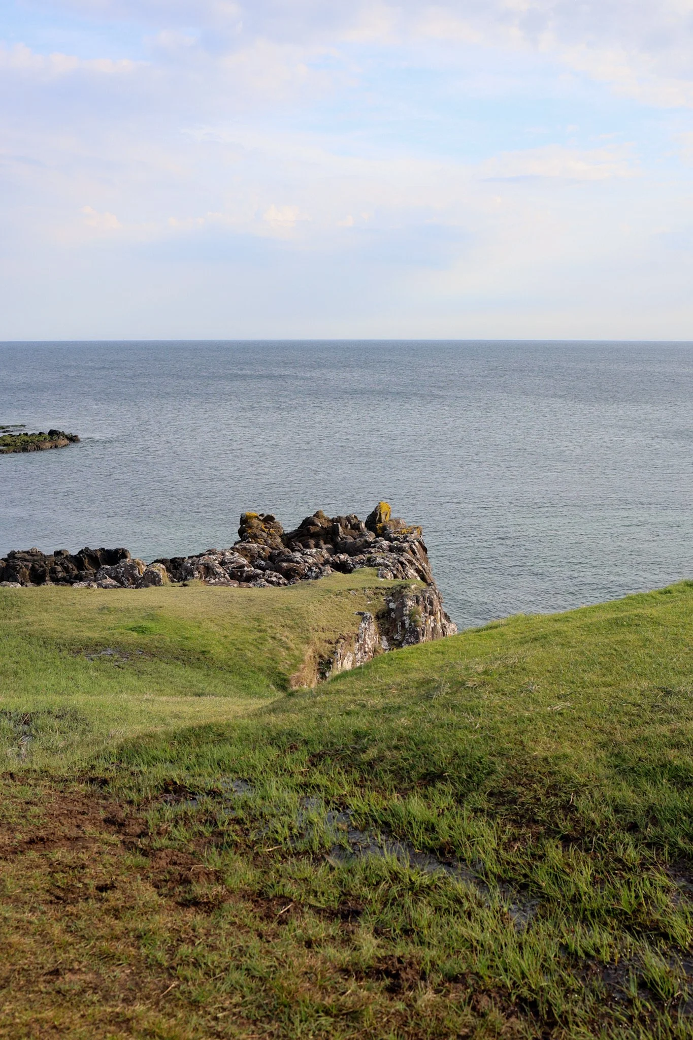
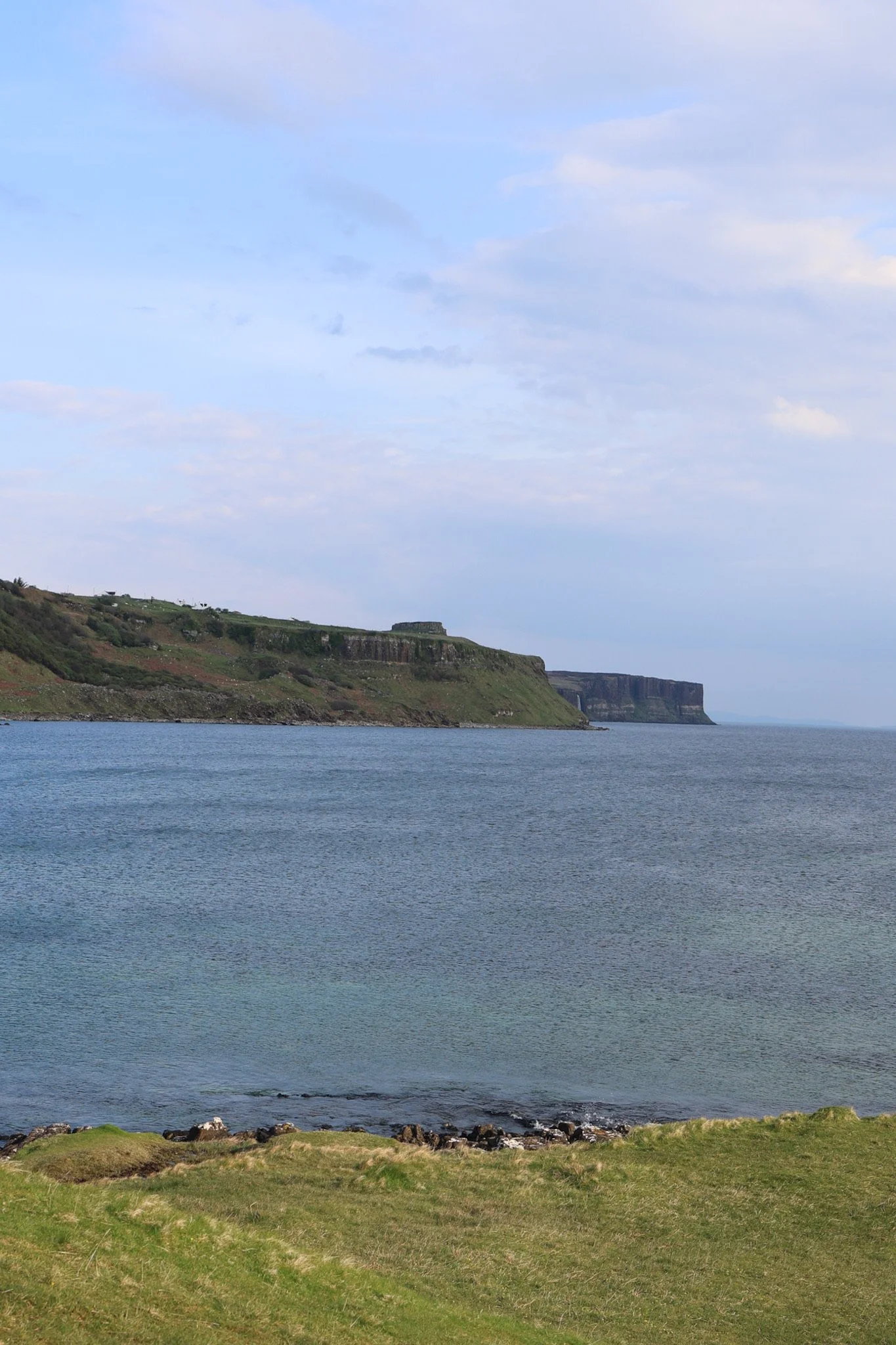
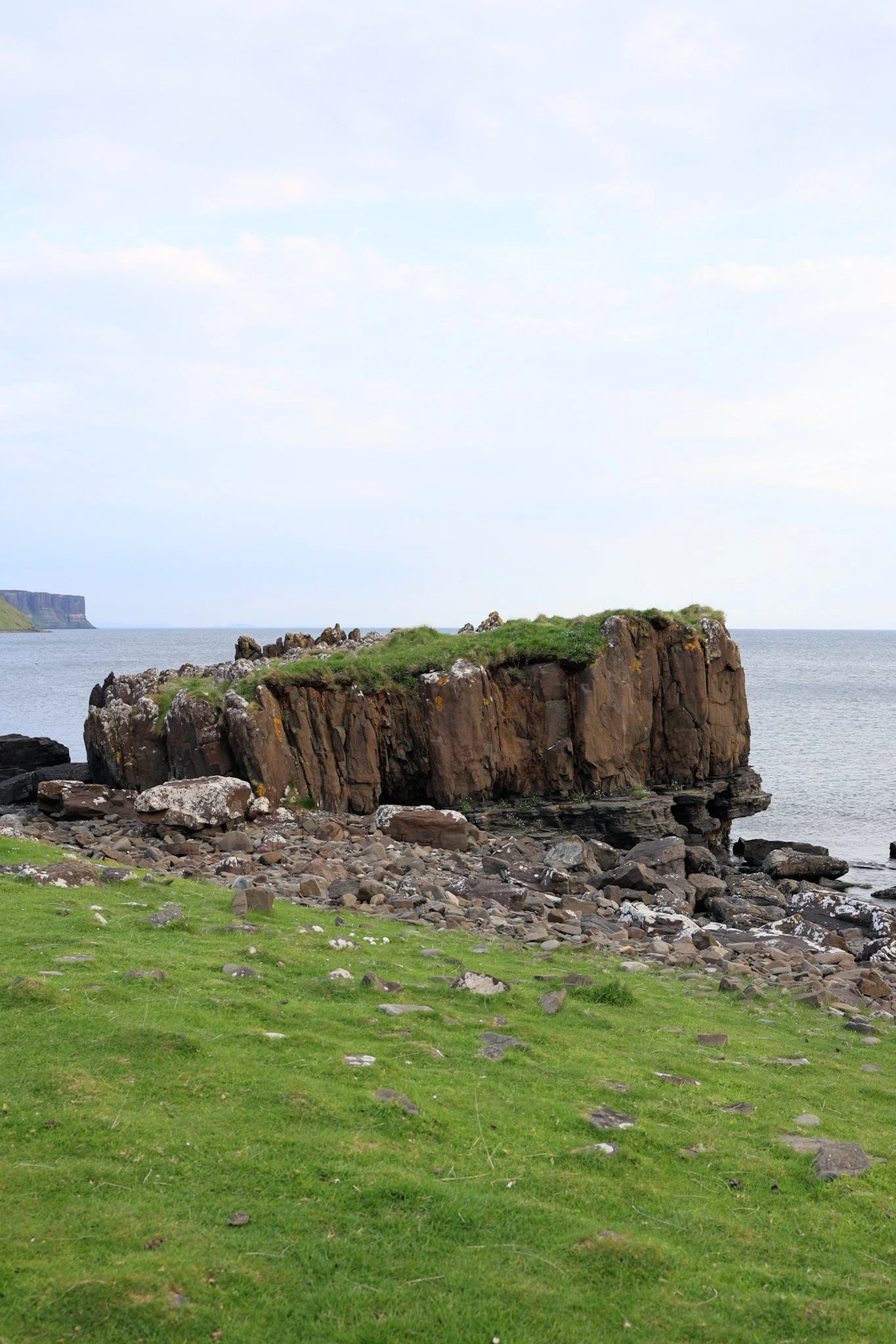
A narrow headland pushes out into the sea like a dragon’s spine, edged by cliffs and laced with informal paths. From the clifftop, the views stretch across the Sound of Raasay, with the basalt coastline falling away sharply below.
Confident walkers can continue to walk carefully around the headland itself, where the sense of exposure (and the views) really opens up. On a clear day, you can even spot Kilt Rock and Mealt Falls in the distance.
This is not a polished trail, but we reckon that’s part of its appeal.
The walk to Brothers Point: what to expect
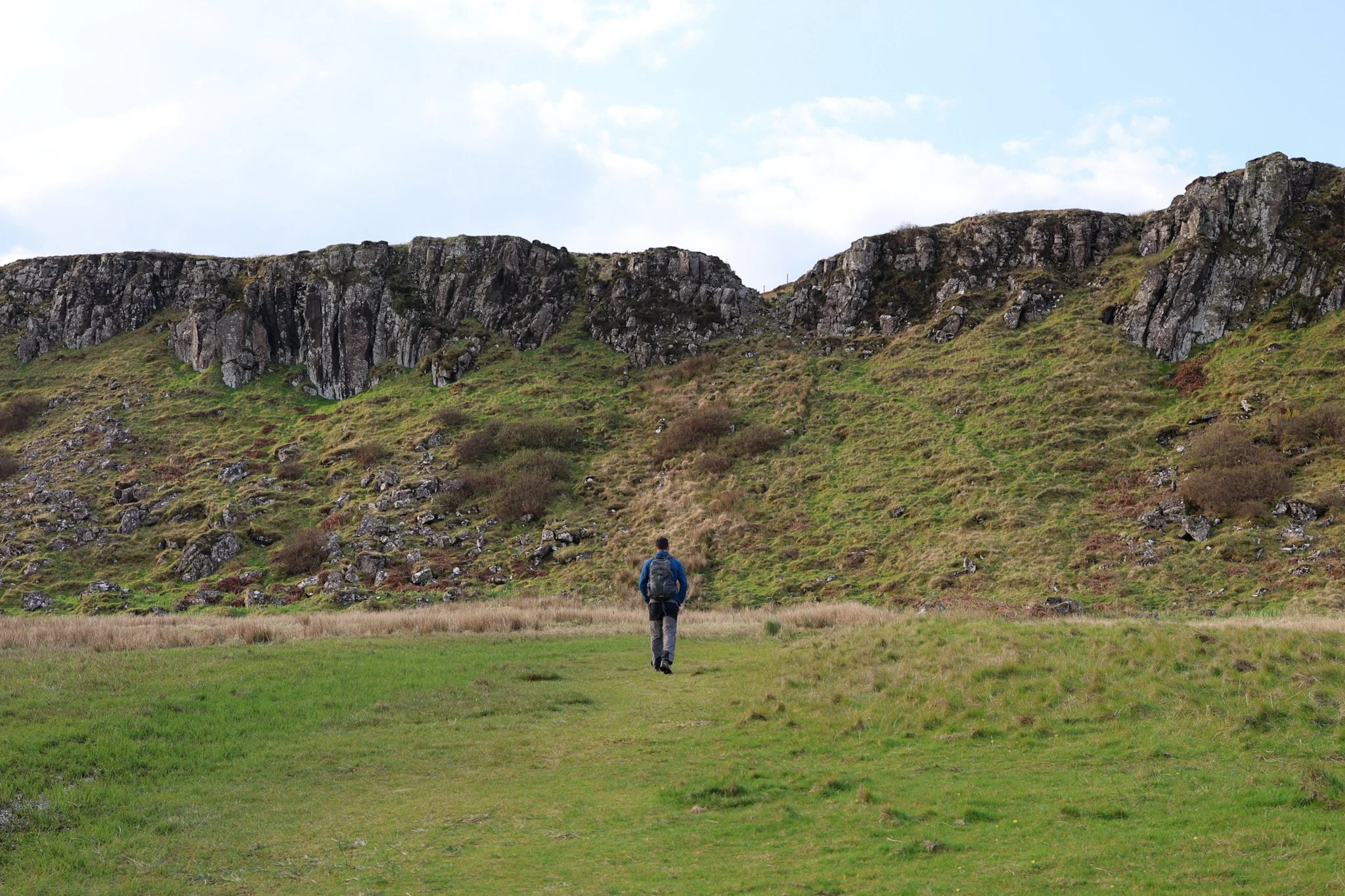
This is a short but uneven coastal walk rather than a defined hiking trail.
Time needed: Around 1–1.5 hours, depending on how far you explore
Distance: Roughly 2.5 km return
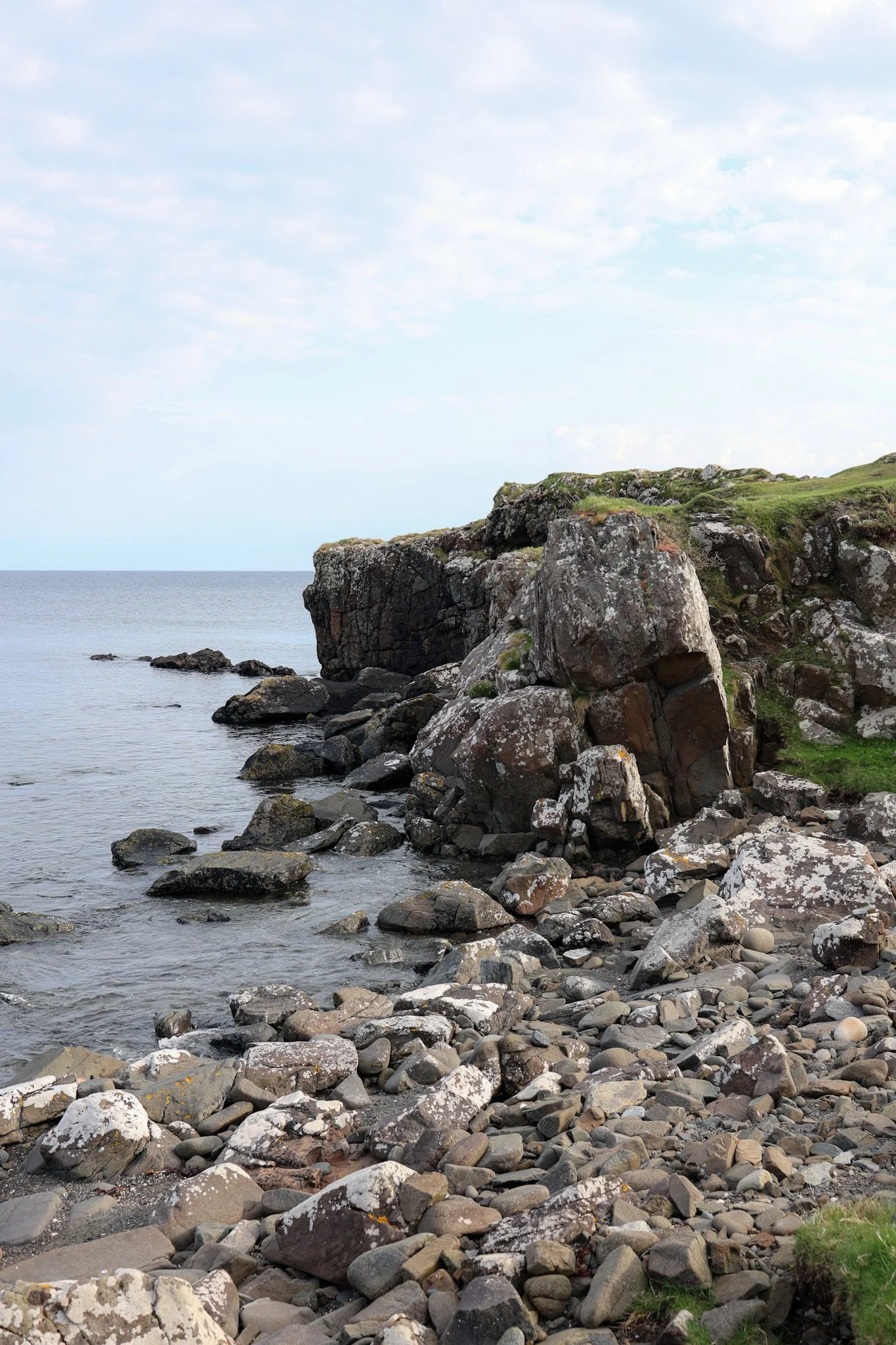
Terrain: Rocky shoreline, grassy clifftops, muddy fields
Difficulty: Moderate, mainly due to uneven ground and exposure near the cliffs
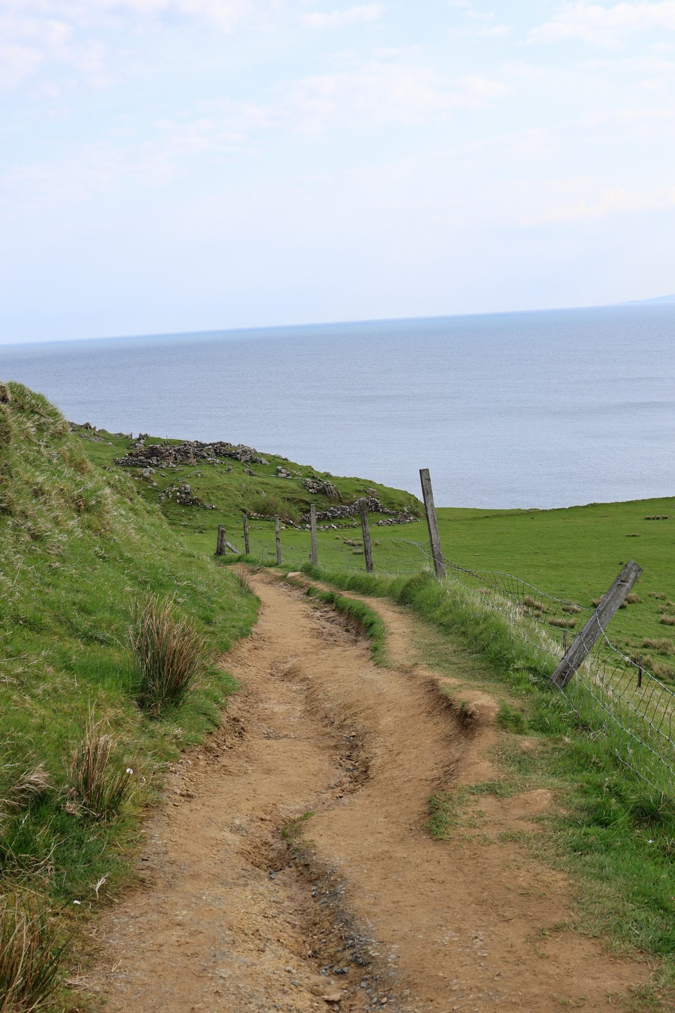
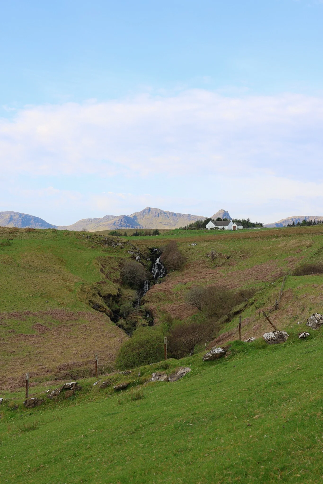
The route initially follows the shoreline before turning inland across croft land, then looping back out towards the headland.
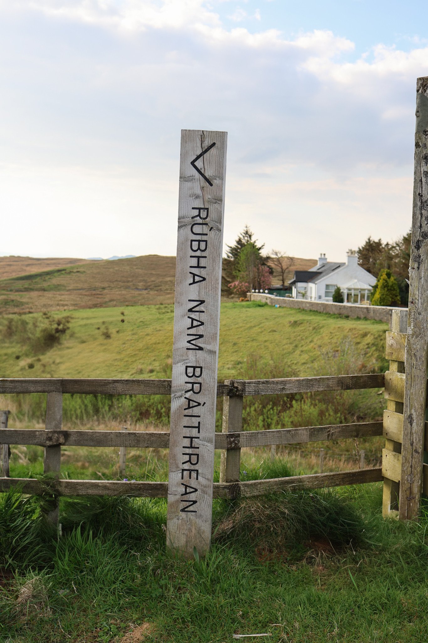
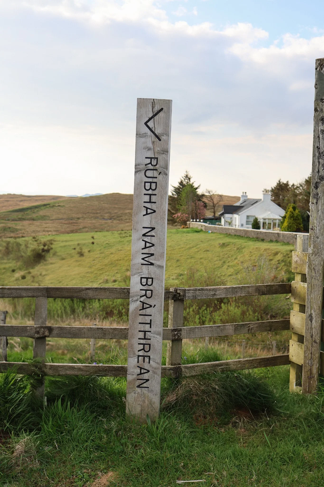
Aside from the signpost at the start, there are no waymarkers or formal signage - you’ll be following worn paths rather than a defined trail, with a few sections where the route fades altogether.


Where is Brother’s Point?
Brothers Point is located just north of Portree on the A855 - the coastal road that loops around the Trotternish Peninsula. If you’re driving towards Staffin, the Quiraing, or other northern Trotternish sights, you’ll pass it naturally without any detour.
There’s a small, informal parking area beside the road, directly opposite the start of the path. It’s free, but very limited, and easy to miss if you’re not looking out for it.
Note: the first signpost we’ve mentioned is Rubha nam Bràthairean (pronounced roughly "Roo-ha nam Bra-hir-an"). This is the Gaelic name, which translates to "Point of the Brothers".
In clear weather, navigation is straightforward as the headland remains in view throughout. In poor visibility, however, this becomes much more challenging, so having the route downloaded to your phone is strongly recommended.
Sturdy footwear is essential, particularly after rain, as the fields can be extremely muddy.

Good to know before you go
Parking is free but very limited, with no signage or facilities
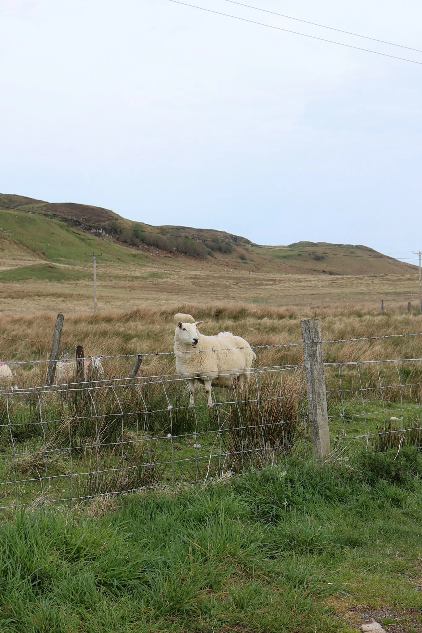
The path crosses active croft land, so please be respectful of the farmer and do not disturb the landscape or animals (keep dogs on a lead and leave gates as you find them).
There are steep drops and unfenced cliffs, especially if you continue around the headland.
This walk is best saved for clear or settled weather, when the views really shine.
If you’re already tired after Storr and Quiraing, this may feel like one walk too many.
Tip: If you want to add Brother’s Point to your itinerary but your Trotternish plans feel rushed, we’d say that’s a good sign that an extra night on Skye would make your itinerary far more enjoyable.
Is Brother’s Point worth stopping for?
If you’re looking for a quieter alternative to Skye’s busiest walks, absolutely. Brothers Point offers a strong sense of place - raw coastline, open views, and space to breathe - without the crowds or infrastructure of Skye’s more famous landmarks.
It’s particularly rewarding for confident walkers who enjoy informal paths and don’t mind a bit of mud in exchange for solitude and scenery.
If you prefer clearly marked routes or are nervous around cliffs, this may not be the best fit.
How does this fit into a Skye itinerary?
Walks like Brothers Point work best when they’re woven into a wider driving route, rather than treated as standalone destinations. Adding one or two quieter stops like this alongside bigger sights helps balance busy days and keeps your time on Skye feeling relaxed rather than rushed.
It pairs especially well with a northern Trotternish loop, alongside places like Staffin, coastal viewpoints, and short scenic pauses such as Bride’s Veil Falls.
If you’re still mapping things out, the main Skye guide on the site pulls together regions, driving loops, and key sights across the island. And for travellers who want a clearer plan, my Skye itinerary download includes realistic timings, ready-to-follow routes, and guidance on where short walks like this genuinely make sense, so you can enjoy the scenery without constantly second-guessing your day.